| diagram |
 |
| namespace |
http://inspire.ec.europa.eu/schemas/base/3.3 |
| type |
base:SpatialDataSetType |
| properties |
| content | complex | | substGrp | gml:AbstractFeature |
|
| children |
gml:metaDataProperty gml:description gml:descriptionReference gml:identifier gml:name gml:boundedBy gml:location base:identifier base:metadata |
| attributes |
| Name | Type | Use | Default | Fixed | annotation | | id | | required | | | | documentation | | The attribute gml:id supports provision of a handle for the XML element representing a GML Object. Its use is mandatory for all GML objects. It is of XML type ID, so is constrained to be unique in the XML document within which it occurs. |
|
|
| annotation |
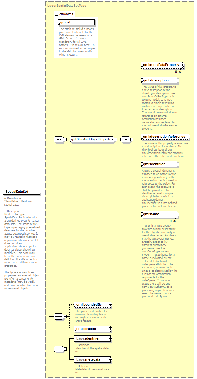
| documentation | -- Definition --
Identifiable collection of spatial data.
-- Description --
NOTE The type SpatialDataSet is offered as a pre-defined type for spatial data sets. The scope of this type is packaging pre-defined data sets for the non-direct access download service. It may be reused in thematic application schemas, but if it does not fit an application-schema-specific data set object should be modelled. This type may have the same name and definition like this type, but may have a different set of properties.
This type specifies three properties: an external object identifier, a container for metadata (may be void), and an association to zero or more spatial objects. |
|