| diagram |
 |
| namespace |
urn:x-inspire:specification:gmlas:BaseTypes:3.2 |
| type |
base:SpatialDataSetType |
| properties |
| content | complex | | substGrp | gml:AbstractFeature |
|
| children |
gml:metaDataProperty gml:description gml:descriptionReference gml:identifier gml:name gml:boundedBy gml:location base:identifier base:metadata base:member |
| attributes |
| Name | Type | Use | Default | Fixed | annotation | | id | | required | | | | documentation | | The attribute gml:id supports provision of a handle for the XML element representing a GML Object. Its use is mandatory for all GML objects. It is of XML type ID, so is constrained to be unique in the XML document within which it occurs. |
|
|
| annotation |
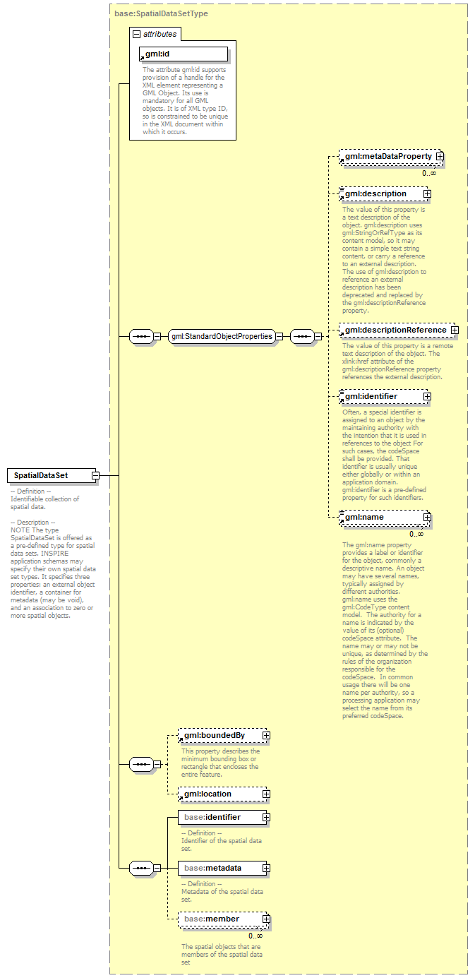
| documentation | -- Definition --
Identifiable collection of spatial data.
-- Description --
NOTE The type SpatialDataSet is offered as a pre-defined type for spatial data sets. INSPIRE application schemas may specify their own spatial data set types. It specifies three properties: an external object identifier, a container for metadata (may be void), and an association to zero or more spatial objects. |
|