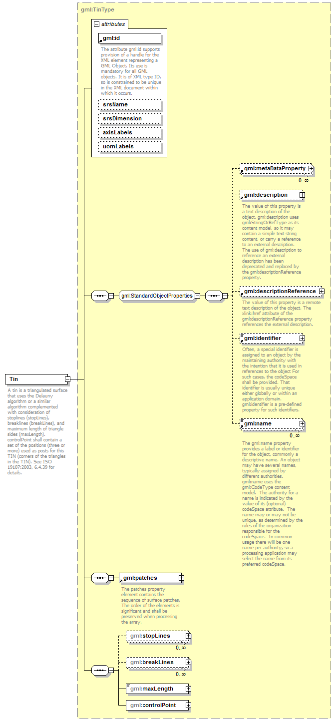
element Tin
diagram AirQualityReporting_p2141.png
namespace http://www.opengis.net/gml/3.2
type gml:TinType
properties
content complex
substGrp gml:TriangulatedSurface
children gml:metaDataProperty gml:description gml:descriptionReference gml:identifier gml:name gml:patches gml:stopLines gml:breakLines gml:maxLength gml:controlPoint
attributes
Name  Type  Use  Default  Fixed  annotation
idrequired      
documentation
The attribute gml:id supports provision of a handle for the XML element representing a GML Object. Its use is mandatory for all GML objects. It is of XML type ID, so is constrained to be unique in the XML document within which it occurs.
srsNameanyURI      
srsDimensionpositiveInteger      
axisLabelsgml:NCNameList      
uomLabelsgml:NCNameList      
annotation
documentation
A tin is a triangulated surface that uses the Delauny algorithm or a similar algorithm complemented with consideration of stoplines (stopLines), breaklines (breakLines), and maximum length of triangle sides (maxLength). controlPoint shall contain a set of the positions (three or more) used as posts for this TIN (corners of the triangles in the TIN). See ISO 19107:2003, 6.4.39 for details.


XML Schema documentation generated by XMLSpy Schema Editor http://www.altova.com/xmlspy