| diagram |
 |
| namespace |
http://www.opengis.net/gml/3.2 |
| type |
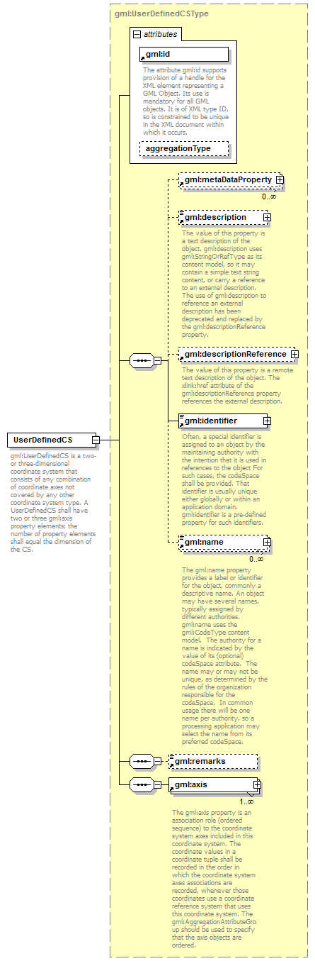
gml:UserDefinedCSType |
| properties |
| content | complex | | substGrp | gml:AbstractCoordinateSystem |
|
| children |
gml:metaDataProperty gml:description gml:descriptionReference gml:identifier gml:name gml:remarks gml:axis |
| attributes |
| Name | Type | Use | Default | Fixed | annotation | | id | | required | | | | documentation | | The attribute gml:id supports provision of a handle for the XML element representing a GML Object. Its use is mandatory for all GML objects. It is of XML type ID, so is constrained to be unique in the XML document within which it occurs. |
| | aggregationType | gml:AggregationType | | | | |
|
| annotation |
| documentation | | gml:UserDefinedCS is a two- or three-dimensional coordinate system that consists of any combination of coordinate axes not covered by any other coordinate system type. A UserDefinedCS shall have two or three gml:axis property elements; the number of property elements shall equal the dimension of the CS. |
|