| diagram |
 |
| namespace |
http://www.opengis.net/gml/3.2 |
| type |
gml:VerticalCSType |
| properties |
| content | complex | | substGrp | gml:AbstractCoordinateSystem |
|
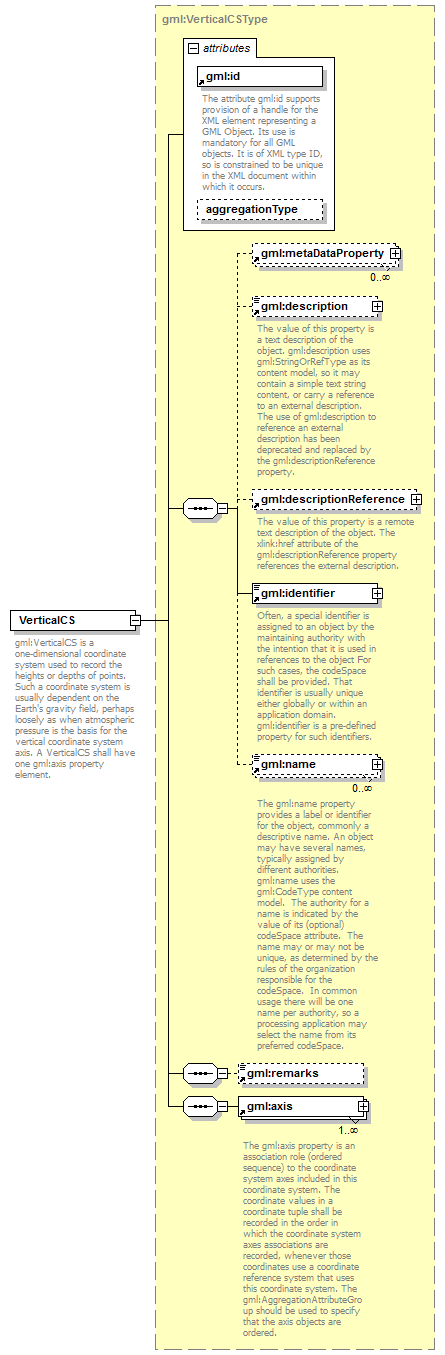
| children |
gml:metaDataProperty gml:description gml:descriptionReference gml:identifier gml:name gml:remarks gml:axis |
| attributes |
| Name | Type | Use | Default | Fixed | annotation | | id | | required | | | | documentation | | The attribute gml:id supports provision of a handle for the XML element representing a GML Object. Its use is mandatory for all GML objects. It is of XML type ID, so is constrained to be unique in the XML document within which it occurs. |
| | aggregationType | gml:AggregationType | | | | |
|
| annotation |
| documentation | | gml:VerticalCS is a one-dimensional coordinate system used to record the heights or depths of points. Such a coordinate system is usually dependent on the Earth's gravity field, perhaps loosely as when atmospheric pressure is the basis for the vertical coordinate system axis. A VerticalCS shall have one gml:axis property element. |
|