| diagram | 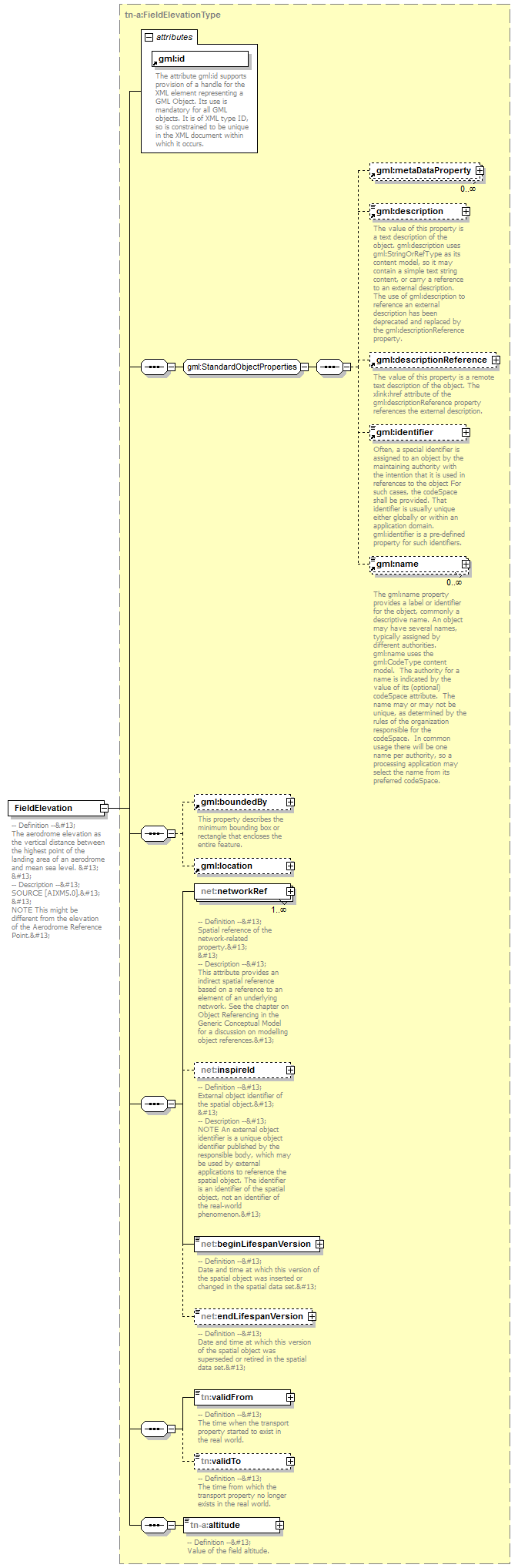 |
||||||||||||||
| namespace | urn:x-inspire:specification:gmlas:AirTransportNetwork:3.0 | ||||||||||||||
| type | tn-a:FieldElevationType | ||||||||||||||
| properties |
|
||||||||||||||
| children | gml:metaDataProperty gml:description gml:descriptionReference gml:identifier gml:name gml:boundedBy gml:location net:networkRef net:inspireId net:beginLifespanVersion net:endLifespanVersion tn:validFrom tn:validTo tn-a:altitude | ||||||||||||||
| attributes |
|
||||||||||||||
| annotation |
|
XML Schema documentation generated by XMLSpy Schema Editor http://www.altova.com/xmlspy